
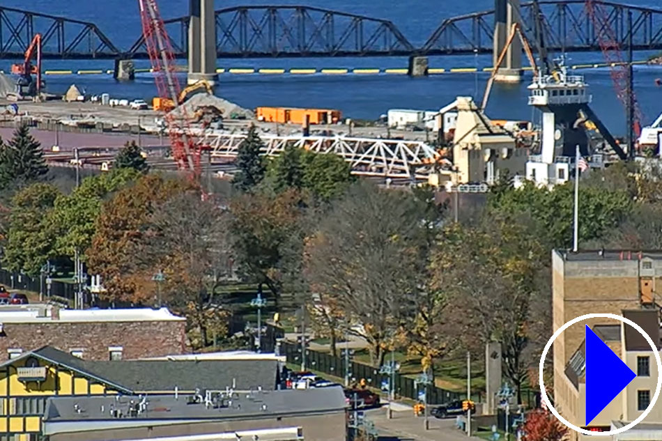
Soo Locks, Michigan, Live Webcam
- Local time
- Location: Soo Locks, Michigan, United States
- Source: StreamTime Live
-
Info: Live streaming webcam showing the Soo Locks in Sault Ste. Marie, Michigan. The Soo Locks are affectionately called the “Linchpin of the Great Lakes” and around 7,000 vessels pass through the Locks a year, hauling nearly 86 million tons of cargo.
View the location of the Soo Locks in Sault Ste. Marie, with Mapquest
View current weather conditions and forecast for Sault Ste. Marie, Michigan, here
Plan your visit to the Soo Locks by viewing information about the Soo Locks Visitor Centre
More info: Sault Sainte Marie is situated at the rapids of the St. Marys River. The rapids were harnessed for the generation of hydroelectric power and connect Lake Superior with Lake Huron, which lies 21 feet (6 metres) lower. It is a port of entry, and is linked to its Canadian twin city, Sault Ste. Marie in Ontario, by road and railroad bridges.
A hub of the St. Lawrence Seaway, its first set of locks to bypass the river’s rapids went into operation in 1855. St. Mary’s Falls Canal (including four parallel locks, popularly called Soo Locks) is operated by the U.S. Army Corps of Engineers and raises or lowers vessels between the two lakes in 6 to 15 minutes.
The Soo Locks - History, Geology and More:
Video courtesy of Alexis Dahl